 Nguyen Manh Thang
Chief Executive Officer, AgileTech Vietnam
Nguyen Manh Thang
Chief Executive Officer, AgileTech Vietnam
- Published
- Last updated
- Read time
- 12 min
- Views
- 125

Read the AI overview
The best location-based app ideas in 2026 are not another map with pins; they are products where position unlocks a transaction, a workflow or a community that could not exist without it. The open spaces cluster in five categories: hyperlocal commerce (perishable inventory, neighborhood services, dark-store discovery), operational tools for fleets and field teams (proof of presence, route intelligence, lone-worker safety), proximity communities (events, parents, hobby groups, safety networks), outdoor and travel products (offline-first trail tools, niche sport trackers, self-guided experiences) and B2B location intelligence (foot-traffic analytics, geofenced operations, asset tracking). The consumer mega-categories, ride-hailing, food delivery, dating, are effectively closed to newcomers; the room is in narrower problems where a big platform cannot justify the focus.
Lists of location-based app ideas usually read like 2014: another Uber-for-X, another check-in social network, another deals-near-me app. The market moved. The consumer mega-categories are consolidated, the platforms give away maps and navigation for free, and users grant location permission more grudgingly every year. What remains, and it is a lot, is a field of narrower, better problems where position genuinely changes what the product can do.
This guide is a curated tour of that field. It covers five categories with room left in 2026: hyperlocal commerce, operational tools for fleets and field teams, proximity communities, outdoor and travel products, and B2B location intelligence. For each: the specific ideas worth building, why the space is open, how the money works, and the honest difficulty. The numbers used to compare spaces are framed as illustrative models, not market research.
What this guide deliberately is not: an engineering manual. Positioning sources, permission flows, geofencing architecture and the backend that makes any of these ideas real are their own discipline, and we wrote them up separately in the geolocation builder's guide. Read this page to choose the idea; read that one to build it.
Key takeaways
- Judge every location idea with one test: does position change the transaction, or just decorate it? A map view bolted onto a normal product adds cost without moat; an offer that exists only because buyer, seller and moment are co-located is a real location product.
- The mega-categories are closed, and that is useful information. Ride-hailing, mass food delivery and location-based dating consumed billions establishing their density; competing head-on is a capital strategy, not an app idea. The openings are adjacent: narrower audiences, harder logistics, ignored geographies.
- Hyperlocal commerce is the richest open field because perishability keeps it local: surplus food, same-day services, neighborhood rentals and dark-store discovery all depend on minutes-away inventory that no national platform indexes well.
- Operational location tools are the quietly profitable category: businesses pay real subscriptions for proof of presence, route intelligence and worker safety, and the sales motion tolerates the unglamorous surface that scares consumer founders away.
- Every location idea inherits the same three build burdens: battery-safe positioning, a permission flow users accept, and density (the app is worthless until enough participants share a map). Pick ideas where you can seed density in one neighborhood, one campus or one company at a time.
- Write the idea as a sentence before writing any code: who, standing where, gets what that distance made possible. If the sentence works without the location clause, the idea is not location-based, and the location stack will be pure cost.
The idea test: when location is a moat and when it is decoration
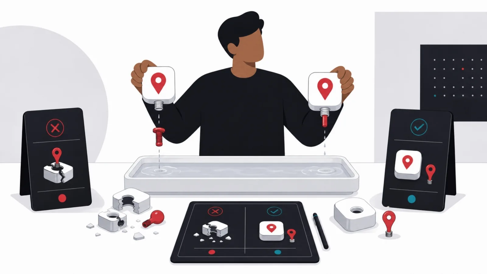
The single most useful filter for location app ideas is brutally simple: remove the location clause from the pitch and see if the product survives. "An app where neighbors rent tools from each other" survives without a map, so it is a marketplace idea with a map view, and it will compete on marketplace strengths. "An app that alerts you when a bakery two blocks away discounts today's unsold bread" dies without position, because the entire offer is the co-location of perishable inventory and a walking-distance buyer. The second pitch is a location product; the first is decoration.
The reason the filter matters is cost symmetry: every idea on this page pays the same location tax. Continuous or background positioning drains batteries and triggers app-review scrutiny. Permission prompts are declined by a meaningful share of users, and declined permissions gut the core loop. Density is the cruelest tax: a map of participants is worthless until enough participants exist near each specific user, which makes the first thousand users nearly valueless to each other. Products where location is decorative pay this full tax for marginal benefit; products where location is the moat pay it for the entire business.
The second filter is platform shadow. Google and Apple ship free navigation, place search, reviews and increasingly discovery; any idea whose core value is "find places nearby" competes with the default apps on a billion home screens. The survivable ideas either serve inventory the platforms do not index (a neighbor's ladder, a shift that needs covering, surplus pastries), serve workflows the platforms will not build (proof-of-presence for cleaning crews, geofenced job-site compliance), or serve communities too narrow for a platform to bother with (kayakers, night-shift nurses, dog owners of one district).
The third filter is density economics: how small can the viable map be? Ideas that work at the scale of one building, one campus or one company (workforce tools, campus marketplaces, facility apps) can be seeded deliberately and sold top-down. Ideas that need a whole city awake at once (general social discovery, broad marketplaces) demand marketing capital most founders do not have. Every idea below is annotated with its minimum viable map, because that number, more than any feature list, decides whether a small team can reach the moment where the product works.
Six questions that qualify a location app idea
- Does distance change the offer?The transaction, alert or match must be impossible or worthless without position. A map view alone is decoration, and decoration does not pay the location tax.
- What is the minimum viable map?One building, one neighborhood, one company, or a whole city? Smaller maps can be seeded by hand; city-scale density needs capital.
- Who pays, and for what moment?Location products monetize moments: the discounted bread, the covered shift, the verified visit. Name the moment and the payer before naming features.
- Why will the platforms not do this?Unindexed inventory, unglamorous workflows or niche communities survive in the platform shadow. Generic nearby discovery does not.
- Can permission be earned honestly?The value must be obvious before the prompt appears, and foreground-only should be the default ask. Ideas that need background tracking from day one start at a disadvantage.
- What does week-one retention look like at low density?If the app is empty until the whole city joins, design a single-player mode that is useful alone, or pick a different idea.
Hyperlocal commerce: perishable inventory keeps it local
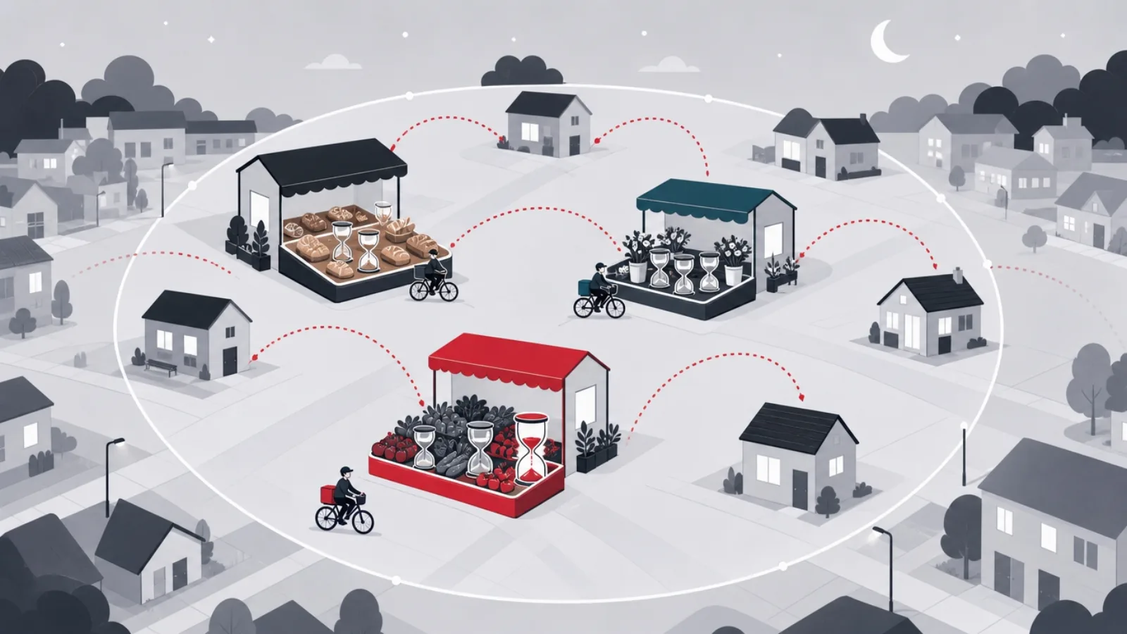
Surplus and perishable goods are the strongest hyperlocal wedge because time pressure defeats national platforms: bread discounted at closing time, produce near date, restaurant overproduction, florist end-of-day stock. The model is proven in Europe by surplus-food pioneers, and the openings in 2026 are geographic (most of the world has no equivalent) and vertical (surplus beyond food: pharmacy near-expiry, garden-center seasonal stock, bakery-adjacent categories). The mechanics are honest retail: merchants clear inventory that was heading to waste, buyers get steep discounts for showing up, and the app earns a per-transaction cut. Minimum viable map: one district with a few dozen participating shops.
Neighborhood services with same-day urgency form the second wedge: the locksmith now, the babysitter tonight, the person with a van this afternoon. Generic gig platforms serve the planned version of these jobs; the location product owns the urgent version, where "eight minutes away and available" beats every rating filter. The build burden is verification and trust (background checks, insurance, escrow), which is exactly why the space stays open: it is operationally heavy in ways pure-software founders avoid. Revenue is take-rate plus urgency premium, and the defensible asset is the vetted supply pool per district.
Peer-to-peer local rental, tools, sports gear, party equipment, camera kit, keeps resurfacing because the logic is sound (idle assets, willing neighbors) and the execution keeps teaching the same lesson: the product is insurance and logistics, not listings. The 2026 version that works narrows to categories with high value density and low fragility (power tools, e-bikes, photography), builds damage cover into every transaction, and uses lockers or shop counters as handover points to remove the scheduling misery. Minimum viable map: one neighborhood plus one category, expanded only when utilization proves out.
The quiet fourth wedge is discovery for dark commerce: the ghost kitchens, dark stores, micro-fulfillment points and home-based food businesses that platforms list badly or not at all. Home-kitchen marketplaces in Southeast Asia and cottage-food networks elsewhere show the demand; the location product aggregates supply that has no storefront, which means no walk-by discovery and total dependence on the map. Regulatory texture (food-safety rules for home producers vary by country) is the moat and the burden at once. For teams evaluating any of these wedges, the commercial anatomy of the big consumer plays is worth studying first, and the ride-hailing market teardown is the cautionary half of that homework.
Hyperlocal commerce ideas, compared
| Idea | Why it stays local | Revenue model | Minimum viable map |
|---|---|---|---|
| Surplus and near-expiry goods | Time pressure: value dies in hours | Per-transaction cut on cleared stock | One district, a few dozen shops |
| Urgent neighborhood services | Minutes-away beats ratings for urgent jobs | Take rate plus urgency premium | One city zone with vetted supply |
| Peer-to-peer gear rental | Handover friction limits distance | Rental fee share plus insurance margin | One neighborhood, one category |
| Dark commerce discovery | Supply has no storefront to find | Listing fees or order commission | One cuisine or category per district |
Four wedges, one row each. Minimum viable map is the number that decides whether a small team can seed the density.
Fleets and field teams: the unglamorous ideas that actually pay
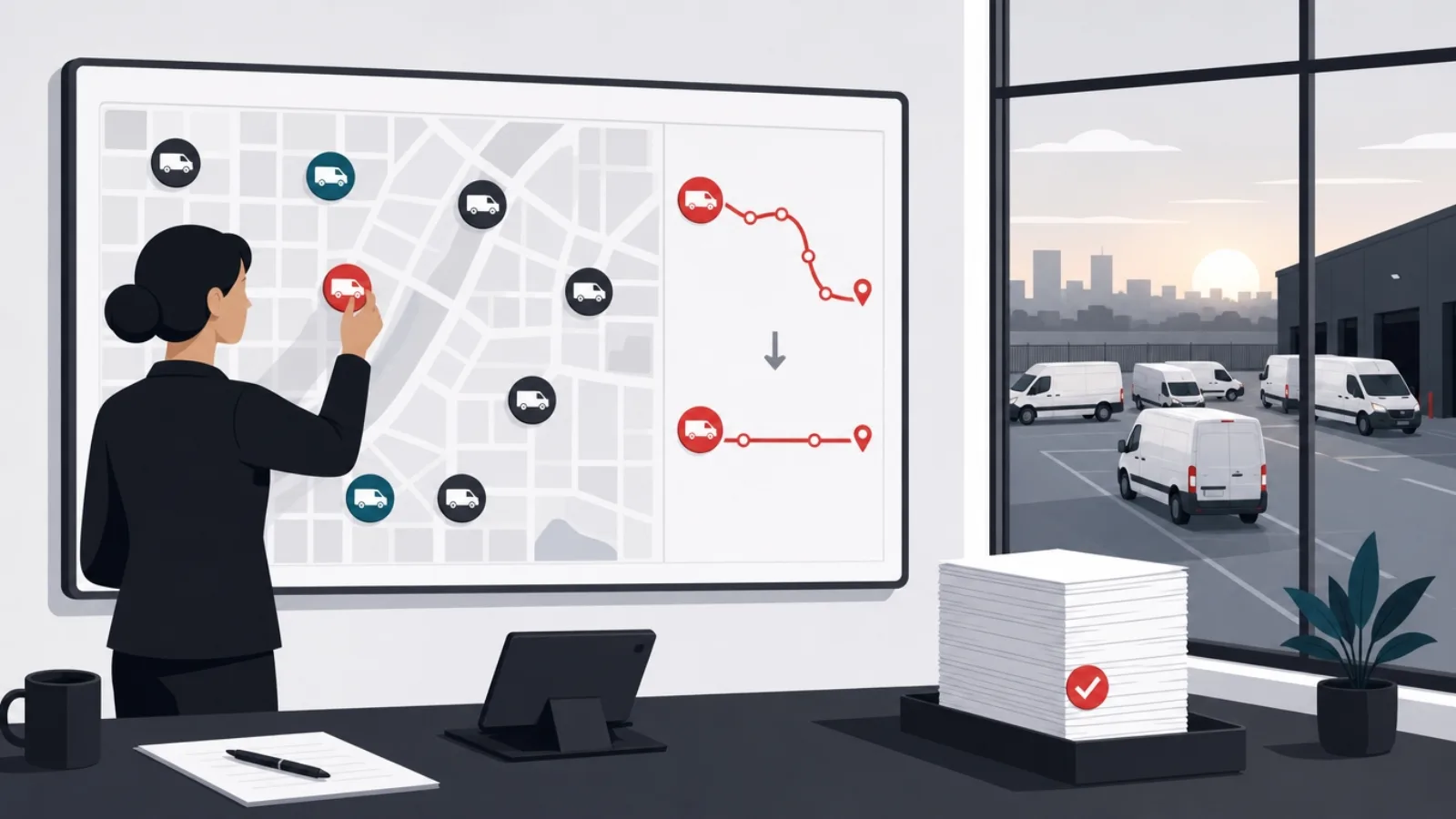
Proof of presence is the purest B2B location idea: businesses that dispatch people, cleaning crews, security patrols, home healthcare, inspectors, maintenance teams, need verifiable evidence that the visit happened, at the right place, for the right duration. Geofenced check-in with timestamps, photo capture and route history replaces paper logs and disputes, and clients pay per seat per month because the alternative is billing arguments. The category is crowded at the generic top (workforce management suites) and open in verticals: every regulated trade has compliance texture a horizontal product handles badly. Minimum viable map: one company; sold top-down, density is free.
Route intelligence for small fleets is the second wedge. Enterprise fleets have full telematics; the five-van plumbing company, the flower-delivery shop and the regional pharmacy courier run on group chat and intuition. A product that sequences stops, predicts arrival windows, notifies customers and learns real service times per stop type pays for itself in fuel and overtime, and the operator can see the saving in the first week. The technical core overlaps heavily with what we describe in the fleet management software guide; the idea here is the down-market version those platforms ignore, priced for businesses with three to twenty vehicles.
Lone-worker safety is the wedge with regulatory wind behind it: jurisdictions across Europe, Canada and Australia increasingly require employers to monitor staff who work alone, home visitors, night security, utility field techs, real-estate agents at viewings. The product is a check-in cadence, a panic path, fall detection from the phone's sensors, and an escalation tree to supervisors, all location-stamped. Employers buy it as compliance, which makes the sale rational rather than emotional. The build demands reliability engineering far above consumer standards, because the product's whole promise is working during the worst five minutes of someone's employment.
Asset and equipment tracking rounds out the category: construction tools that walk off sites, hospital wheelchairs that vanish between wards, rental equipment on multi-week hires, shipping totes in circular-logistics loops. The location stack here extends beyond phones to BLE tags, LoRa beacons and GPS trackers, and the app becomes the console over a small hardware fleet. Margins live in the subscription, not the hardware, and the defensible asset is integration with the customer's existing job-site or facility workflow. For the consumer-adjacent flavor of this space, the GPS tracking app roundup maps what buyers already use and where the gaps are.
Why operational location ideas fund themselves
Proximity communities: social ideas that survive the graveyard

Location-based social is the most seductive and most lethal category on this page: the graveyard holds hundreds of check-in apps, nearby-people browsers and local feeds that could not solve cold-start density or keep users once novelty faded. The survivors share a pattern worth copying: they organize around a recurring real-world context, not around proximity itself. Neighborhood networks organize around the block, campus apps around the semester, parent apps around the school gate. Proximity is the enabler; the context supplies the reason to return.
The open ideas follow that pattern. Interest-based local groups with built-in scheduling, the running crew, the board-game table, the language exchange, the climbing partner finder, work because the meetup is the product and the map is logistics. Event-first products that surface what is happening within walking distance tonight, filtered by an actual social graph rather than a promoter's ad budget, still lack a definitive winner in most cities. Parent networks scoped to a school or district carry unusually high trust requirements and correspondingly high retention when they get verification right. Minimum viable map for all of these: one venue, one school, one club, seeded by hand.
Safety networks are the serious wedge: walk-with-me companions that share a live route with chosen contacts, neighborhood watch coordination, campus escort systems, disaster check-in boards that mark households safe after floods or storms. These products earn location permission more easily than any social toy because the value is self-evident, and several monetize through institutions (universities, municipalities, insurers) rather than users. The engineering bar is high in the same way lone-worker tools are: the product must work flawlessly precisely when networks are congested and batteries are low.
The honest warning for the whole category: monetization is structurally hard. Local social graphs are small by definition, which caps ad value; users resist paying for community; and the moderation load scales with intimacy, small local groups surface real-world conflicts that a global platform never adjudicates. The ideas that clear these hurdles either charge institutions, attach commerce (the running crew buys gear, the parents book activities), or stay deliberately small and cheap to run. Build the revenue answer before the feature list, not after.
Proximity social: the graveyard's lessons
Do this
- Anchor to a recurring contextThe block, the school, the club, the trail. Context creates the return visit; raw proximity never does.
- Seed one map by handOne campus, one district, one venue. Density at city scale is a capital problem; density at club scale is a weekend of onboarding.
- Make single-player mode usefulA local events calendar or safety timer works alone on day one. Empty-map products die before density arrives.
- Verify identity where trust is the productParent networks and safety tools live or die on who is allowed in. Verification friction is a feature there, not a bug.
Not this
- Building "see people nearby" as the productProximity browsing is the most-tried, most-dead pattern in the category. Without a context and a reason, nearby strangers are a privacy problem, not a feature.
- Assuming ads will fund a local graphSmall local audiences cap ad revenue below server costs. Institutions, commerce attachment or subscriptions must be designed in early.
- Ignoring the moderation loadLocal disputes arrive with real names and real addresses. Budget human moderation from the first neighborhood, or the second one will make headlines.
- Demanding background location for a social toyUsers grant continuous tracking to safety tools and family apps, not to feeds. Design the loop foreground-first.
Outdoor, fitness and travel: where offline is the feature

Outdoor products invert the usual location stack: the differentiator is what happens without connectivity. Trail apps for hikers, backcountry skiers, paragliders and offshore sailors compete on offline maps, GPS track recording that survives a dead signal all day, and battery discipline that leaves a phone alive for the descent. The mainstream trail platforms own the generalist market; the openings are per sport (canyoning, bikepacking, sea kayaking, hunting with land-boundary layers), per geography (most trail platforms are thin outside North America and Western Europe) and per audience (guided groups, search-and-rescue teams, outdoor schools).
Niche sport trackers remain reliably open because each sport's telemetry is its own product: surfers want wave counts and session maps, climbers want route logs tied to crag locations, equestrians want gait analysis over mapped rides, open-water swimmers want stroke data with drift-corrected courses. The mega-platforms treat these as checkbox activity types; a dedicated product that speaks the sport's language, integrates its community and hardware, and gets the domain details right earns subscriptions the generalists never see. The build overlaps heavily with running-app mechanics, GPS smoothing, activity feeds, training load, which is a solved foundation to build the niche layer on.
Travel products with room left cluster around self-guided experience: audio walking tours triggered by geofences, city discovery built for a specific traveler (families with strollers, accessibility-first routing, food-focused itineraries), and road-trip planners that sequence stops with real driving texture. The platform shadow is darkest here, the default map apps do generic discovery well, so the survivable ideas sell curation and narrative, not search. Monetization is honest retail: paid tour content, itinerary purchases, partnerships with the venues on the route.
The category's shared burden is content and cartography: offline map tiles, elevation data, trail networks and points of interest are licensing decisions with real costs, and the sport-specific data (crag databases, wave buoys, land boundaries) often lives with communities who must be partners rather than scrape targets. Teams that treat data acquisition as the first product decision, not an implementation detail, ship; teams that discover licensing in month four do not. The positioning engineering underneath, accuracy tiers, battery budgets, background recording, is exactly the ground the geolocation builder's guide covers.
Outdoor and travel wedges: what the winner must own
| Core differentiator | Data burden | Revenue shape | |
|---|---|---|---|
| Per-sport trackersSurf, climb, ride, swim | Sport-native telemetry and language | Community and hardware partnerships | Subscription, hardware tie-ins |
| Backcountry and trail toolsOffline-first by definition | Reliability with zero connectivity | Map tiles, elevation, trail licensing | Subscription, one-time map packs |
| Self-guided experiencesTours and itineraries | Curation and narrative quality | Original content per city or route | Paid content, venue partnerships |
| Specialist navigationAccessibility, families, RV | Routing for a constraint the platforms ignore | Constraint data (curbs, clearances, stops) | Subscription, B2B licensing |
B2B location intelligence: selling the map, not the app

The final category flips the product: instead of putting an app in a consumer's hand, sell what movement data reveals to businesses that decide with maps. Foot-traffic analytics tells a retailer which corner earns the rent, a franchise where the next unit goes, and a commercial landlord what a tenant's footfall justifies. The incumbents are established and the data-sourcing rules have tightened dramatically, which is precisely the opening: privacy-preserving methods, aggregated sensing, consent-first panels, on-device processing, are becoming the requirement, and products built native to that constraint compete against incumbents retrofitting it.
Geofenced operations tooling is the second wedge: job-site compliance (who entered the excavation zone without certification), automated yard management (gate events triggering workflows), delivery verification (the pallet crossed the geofence at 14:02), and dynamic insurance (equipment coverage that activates by site). These products embed location events into a customer's operational software, which makes them integration businesses: the moat is the connector library and the workflow fit, not the geofence math. Sales cycles are enterprise-slow and the revenue is correspondingly durable.
Micro-mobility and curb intelligence serve cities directly: where scooters actually get ridden versus parked, which curbs earn loading-zone status, how a road closure redistributes bike traffic. Municipal procurement is its own craft, but the buyer is real, cities regulate mobility operators and increasingly demand data as a licensing condition, and the products that translate raw traces into decisions officials can defend in a council meeting occupy a seat that generic dashboards do not.
The category's existential constraint is privacy, and it deserves the last word rather than a footnote. Location traces are among the most sensitive data a product can touch: they reveal homes, workplaces, clinics and worship. The regulatory direction everywhere is stricter consent, aggregation floors and purpose limits, and the enforcement examples are no longer hypothetical. Treat privacy engineering as the product core, differential aggregation, k-anonymity floors, on-device preprocessing, retention limits, and the constraint becomes the moat: buyers under the same regulations need vendors who arrived compliant, and the retrofit incumbents keep failing audits.
Picking one: validation before the location stack
Choose by unfair advantage, not by market size. The surplus-food idea belongs to someone who can walk into thirty bakeries with credibility; the lone-worker tool belongs to someone who has managed field staff; the crag tracker belongs to a climber the community already knows. Location products are seeded by hand at the start, one district, one company, one club, and the founder's existing access to that first map is worth more than any feature roadmap. The idea you can seed personally beats the bigger idea you would have to advertise into existence.
Validate the moment before building the app. Every idea above monetizes a specific moment: the discount alert, the verified visit, the covered shift, the triggered tour. Most of those moments can be tested with embarrassing tools: a WhatsApp broadcast of today's surplus from five shops, a shared spreadsheet of check-ins for one cleaning crew, a manually-messaged walking tour for one plaza. If the manual version produces transactions, retention or a paying pilot, the app is an efficiency upgrade on proven demand. If it produces silence, the app would have too, at fifty times the cost.
Budget honestly for the location tax when the build begins. Positioning that respects batteries, permission flows that earn their prompts, geofencing that fires reliably, offline behavior, and a backend that handles moving coordinates at scale are specialist work; the difference between a demo and a product in this category is almost entirely in those invisible layers. The full anatomy, accuracy tiers, background-location review gates, the server side, is laid out in the geolocation builder's guide, and reading it before scoping will move real money in your estimate.
Sequence to density, then defend with operations. The launch plan for every idea here is the same shape: pick the smallest map where the product works, saturate it (personally, unscalably), prove the unit economics on that map, then replicate map by map. The defensibility rarely comes from the software, competitors can copy screens in a quarter, and usually comes from the operational layer: the vetted supply pool, the merchant relationships, the licensed data, the integration library, the community trust. Location apps are operations businesses wearing software margins; the winners staff accordingly from the start.
From idea to first live map, in order
-
Write the one-sentence testDay 1
Who, standing where, gets what that distance made possible. If the sentence survives without the location clause, pick another idea before spending anything.
-
Run the manual pilotWeeks 1 to 4
Fake the product with messages, spreadsheets and legwork on the smallest possible map. Count real transactions or commitments, not compliments.
-
Price the location taxWeeks 4 to 6
Scope positioning, permissions, geofencing and backend with the builder's guide in hand. The invisible layers are most of the budget; estimate them first, not last.
-
Build for one map, single-player includedMonths 2 to 5
Ship the smallest product that serves the pilot audience, useful even at low density. Saturate the first map before touching the second.
-
Replicate map by mapMonth 6 onward
Expand only when the first map's unit economics hold. Density is bought retail, one district at a time; the operational playbook is the asset that compounds.
Frequently asked questions
What are the best location-based app ideas in 2026?
The strongest openings cluster in five categories: hyperlocal commerce (surplus and near-expiry goods, urgent neighborhood services, local gear rental, dark-commerce discovery), operational tools for fleets and field teams (proof of presence, small-fleet routing, lone-worker safety, asset tracking), proximity communities anchored to real contexts (clubs, schools, safety networks), outdoor and travel products (per-sport trackers, offline trail tools, self-guided tours) and B2B location intelligence (privacy-native foot-traffic analytics, geofenced operations). The shared trait: position changes the transaction rather than decorating it.
Is it too late to build a location-based app?
It is too late for the mega-categories: ride-hailing, mass food delivery and location dating consolidated years ago, and competing there is a capital strategy rather than an app idea. It is not remotely too late for narrower problems: businesses still verify field visits on paper, most sports lack a dedicated tracker, surplus-food models cover a fraction of world cities, and privacy-native location analytics is effectively a new market created by regulation. The room is in focus, not in scale.
How do location-based apps make money?
Five recurring models. Transaction take rates fit marketplaces where the app brokers the moment (surplus goods, urgent services, rentals). Per-seat subscriptions fit operational tools sold to businesses (workforce, fleet, safety). Consumer subscriptions fit outdoor and niche-sport products with dedicated audiences. Paid content fits travel and tour products. Data and licensing revenue fits location intelligence, with privacy engineering as its cost of goods. Advertising performs worst in this category because local audiences are small by definition.
What is the hardest part of building a location-based app?
Three burdens dominate. Density: a map of participants is worthless until enough exist near each user, so the launch plan must saturate one small map at a time. The location tax: battery-safe positioning, permission flows users accept, reliable geofencing and offline behavior are specialist engineering that consumes most of the real budget. And privacy: location traces reveal homes and routines, regulators treat them accordingly, and consent, aggregation and retention design must be built in from the start rather than retrofitted.
How do I validate a location app idea before building it?
Fake it manually on the smallest possible map. Run the surplus-food alert as a WhatsApp broadcast from five shops, the proof-of-presence tool as a shared spreadsheet for one cleaning crew, the walking tour as manually sent messages on one plaza. Count actual transactions, retained participants or a paying pilot, not compliments. If the manual version produces demand, the app is an efficiency upgrade on proven behavior; if it produces silence, the app would have failed at far greater cost.
Do location-based apps need background location access?
Far fewer than founders assume, and asking for less is a competitive advantage. Foreground-only location covers discovery, check-ins, navigation and most commerce moments. Background access is genuinely required for safety products, workforce verification during shifts, and activity tracking with the screen off, and both app stores subject those uses to extra review. The working rule: design the core loop foreground-first, request background access only for the specific feature that needs it, and expect to justify it in app review with visible user value.
Check-ins, outdoor tools, location intelligence, all pay the same engineering tax. To have that tax priced honestly from day one, talk to AgileTech, one of the best software house companies in Vietnam.
Source: https://agiletech.vn/blog/location-based-app-ideas/ · (c) AgileTech Vietnam. Printed from agiletech.vn.